
Scan on the Move – Stonex SLAM Laser Scanners
No more hours of scanning from stationary positions. With Stonex SLAM technology, you can capture your surroundings in real time while walking through the space — faster, easier, and with professional-grade accuracy.
Geodetic and geospatial equipment for over 20 years
Stonex is an Italian manufacturer that develops GNSS receivers, total stations, and laser scanners for surveyors, construction professionals, and cartographers worldwide. The company is synonymous with reliability, with its equipment designed for demanding field conditions and professional day-to-day use.
Metaport is the official distributor of Stonex SLAM scanners in Hungary, offering Hungarian-language consultation, warranty support, and personal product demonstrations to help you choose the right equipment for your work.
Scanning on the Move – What Traditional Laser Scanners Can't Do
With traditional static laser scanners, you need to scan a space from a tripod, point by point, and then combine the scans afterward — a slow process that requires a lot of manual work. Stonex SLAM (Simultaneous Localization and Mapping) scanners, on the other hand, map the environment while walking or even running: the scanner continuously tracks its own position and builds the 3D point cloud in real time.
One Device, Countless Applications

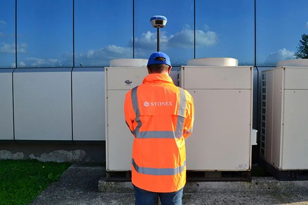
Construction & Renovation
Fast and accurate documentation of buildings and existing conditions, converted into CAD/BIM-compatible files.
Real Estate & Archiving
Scanning of large, complex spaces (industrial halls, office buildings) in a fraction of the time.
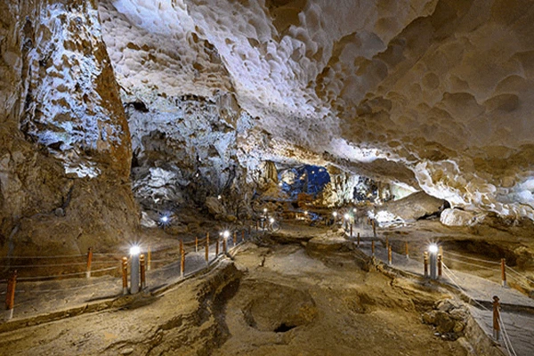
Mining & Industrial Facilities
Safe, on-the-move mapping of hard-to-reach and hazardous areas.
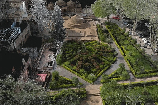
Heritage Preservation & Archaeology
Precise digitization of historic buildings and ruins without the risk of damage.
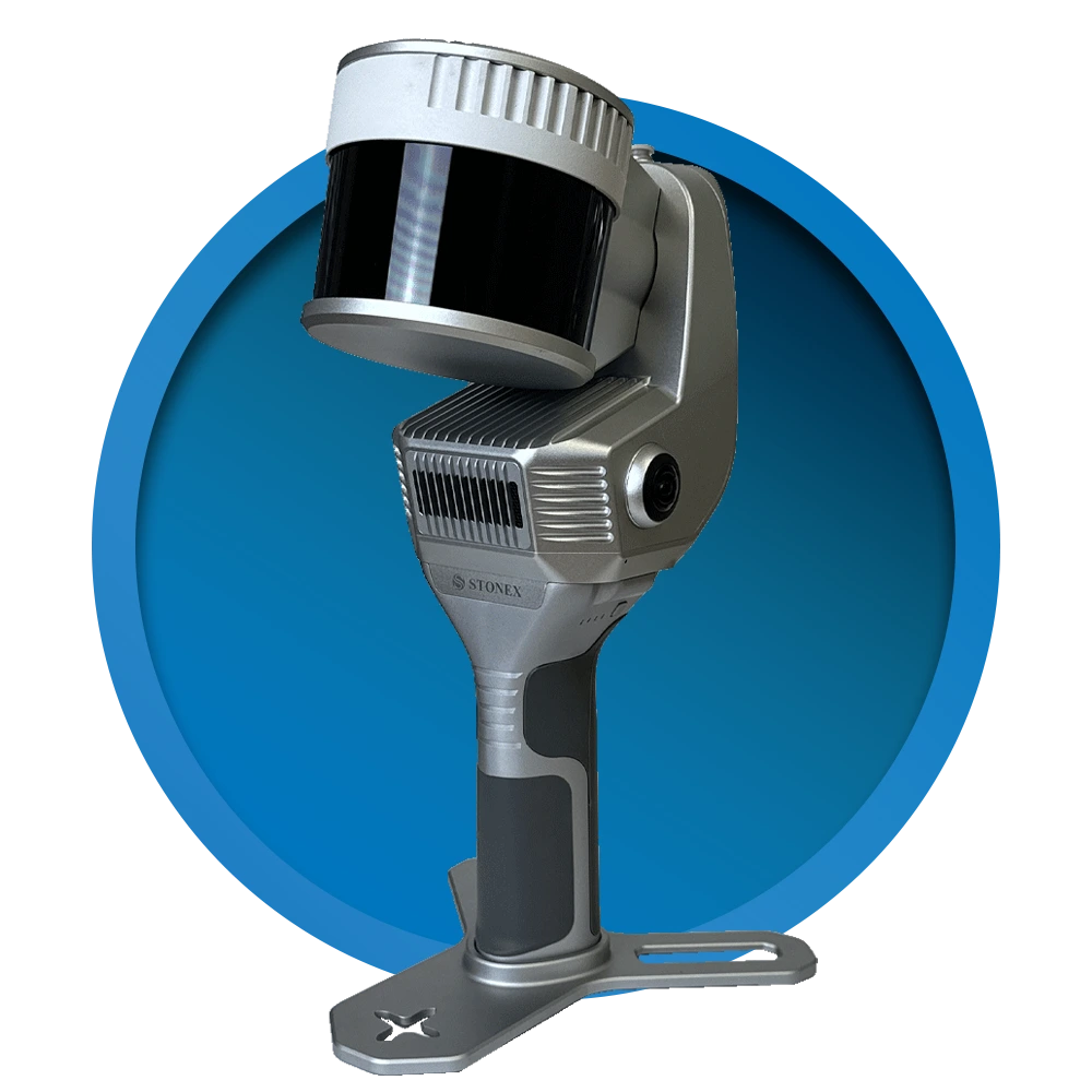
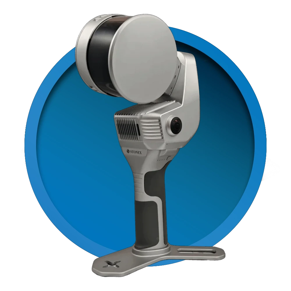
X200 GO
Next-Generation SLAM-Based System
Up to 300 m range
Rotating head for maximum laser coverage
2 cameras + RTK receiver for precise positioning
X-Whizz mode for static scanning
Real-time point cloud coloring
Versatile use in any environment
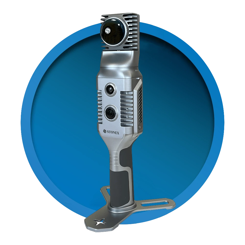
X120 GO
Next-Generation SLAM-Based System
120 m range
Rotating head for maximum laser coverage
2 cameras + GNSS receiver for precise orientation and real-time coloring
Navigable and measurable panoramic images aligned with the 3D model
X-Whizz mode for automatic registration of static scans
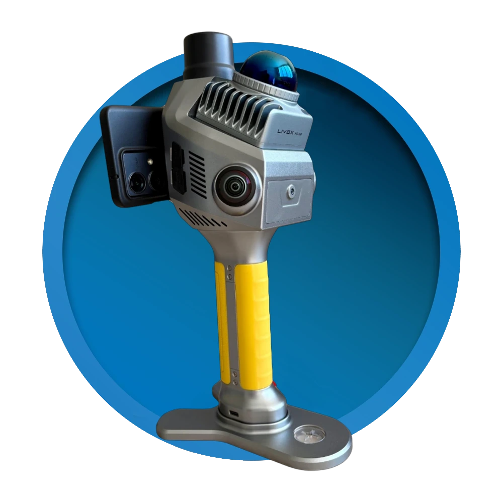
X70 GO
Scanning results can be generated directly on the device
TopoGEOS L-40
40 m measurement range (up to 70 m for highly reflective surfaces)
200,000 points/sec data acquisition rate
360° LiDAR field of view
2 × 16 MP, 1" CMOS cameras for realistic, colorized point clouds
Mechanical global shutter to eliminate rolling shutter distortion
RTK GNSS support with up to 0.8 cm horizontal accuracy
Real-time point cloud visualization with the Android-based TopoGEOS Capture app
TopoGEOS PointCloud Studio post-processing software for creating georeferenced point clouds
256 GB SSD, Wi-Fi, Bluetooth and USB Type-C connectivity
Up to 150 minutes of operation with a replaceable battery
Only 1.08 kg, with IP54 dust and water resistance
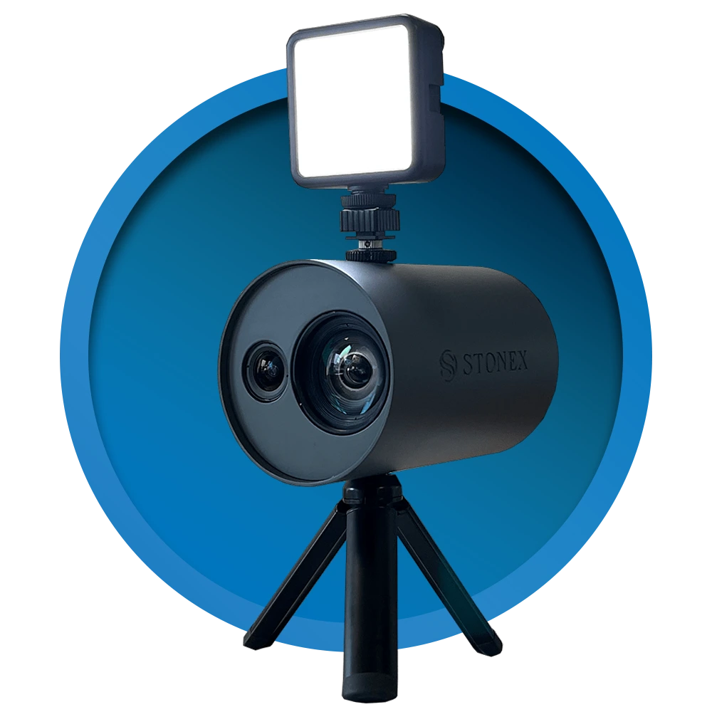
XVS
Real-time scanning while walking
Visual SLAM technology for precise positioning and mapping
Instant visualization on a tablet
Automatic 3D model generation
Fast and easy data capture
More Stonex Products
Software
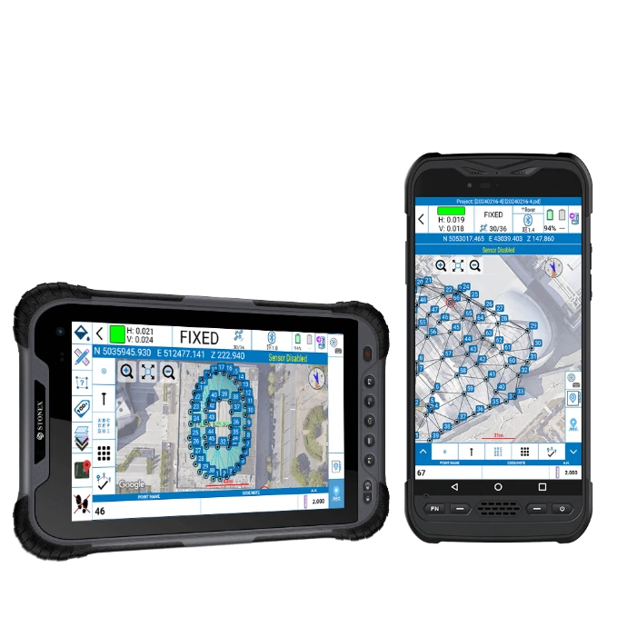
STONEX Cube-a
Intuitive Field Scanning & Data Capture
Cube-a is professional field measurement software designed to provide simple and efficient control of STONEX surveying equipment. It allows measurement data to be captured, checked, staked out, and managed directly in the field.
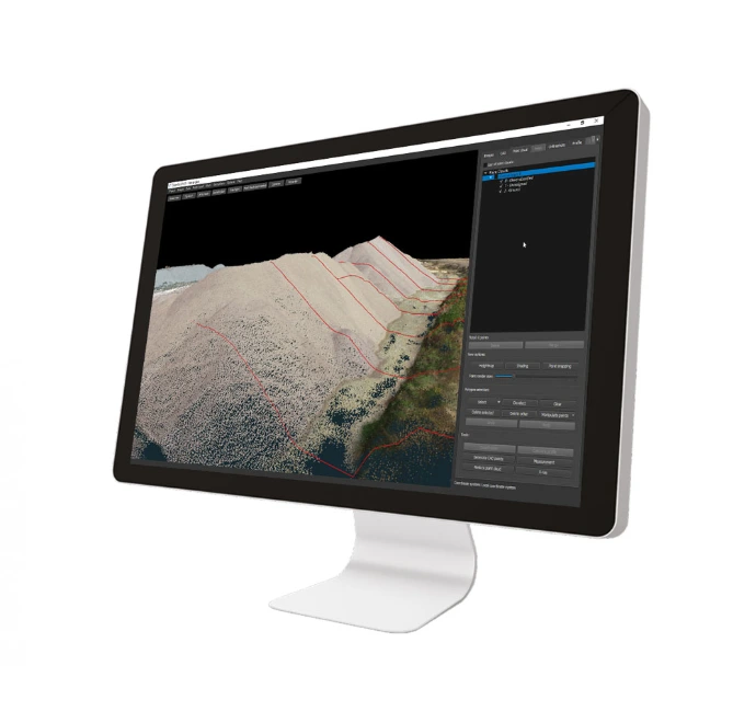
STONEX Cube-3D
Professional 3D Data Processing
Cube-3D provides a comprehensive solution for processing 3D measurement data. Manage point clouds, 3D models, and photogrammetric data within a single software environment, from scanning to detailed analysis.
You Get More Than Equipment – You Get a Partner for Your Work
Expert Advice in Hungarian
Personal Product Demonstration
Warranty and Local Support in Hungary
Training
Have a question? Get in touch with us!
Have questions about our products and services? WRITE TO US!
 Metaport